

Bonn's Rhine promenade is the city's default long walk because it needs almost no planning: you start in the old town, follow the water south, and turn around when your legs say so. The three decisions that matter are direction, how far you intend to go, and whether you cross the river at the end. Settle those first and the rest of the walk arranges itself.
Start at the Marktplatz and head south. Walking in this direction puts the Hofgarten, the government quarter, the two high-rise towers and the Rheinau Park in a logical sequence rather than letting them arrive out of order. The surface is flat and mostly paved, and one published running route covering the river path south to the Rheinau Park and back is listed at 9.2 km (5.7 miles), though that figure belongs to that route and includes its loop, so treat it as a rough ceiling rather than an official promenade length. As a suggestion only, allow about half a day for the full circuit with pauses. For wider context on the city before you set off, the Bonn: Itineraries and City Travel Guides hub is the place to skim.
The Route at a Glance
The core line runs south from the Marktplatz, through the Hofgarten and Stadtgarten down to the river, then along the waterside path past riverside villas, ministry buildings and the ex-government quarter, ending at the Rheinau Park. From there you either retrace the riverfront, loop back through the old government quarter and Hofgarten, or push further into the park itself.
The published riverside running route starts in the market square of the old town and follows the river south to the Rheinau Park, loops through the park and the old government quarter, and returns along the water. That shape is a good model for a walk too, because it means you see the waterfront twice from different angles and end where you began. Keep the route simple and let the walk lengthen or shorten with your energy rather than a fixed schedule.
Nothing about this walk requires a ticket, a booking or a timed slot; it is a public path and the parks along it are open grounds. If you want to pair the walk with indoor stops, check current details directly with each site, because admission arrangements and opening times change and are not covered here.
Start at the Marktplatz and the Hofgarten Arch
The Marktplatz gives you an obvious anchor: the town hall forms the south-east end of the square, and you begin by walking past it rather than circling the market. From the town hall you head straight ahead for two short blocks toward the arched gateway in the east wing of the old Hof, the former royal residence. That arch is the transition point between the old town and the park, and it is easy to miss if you drift east too early.
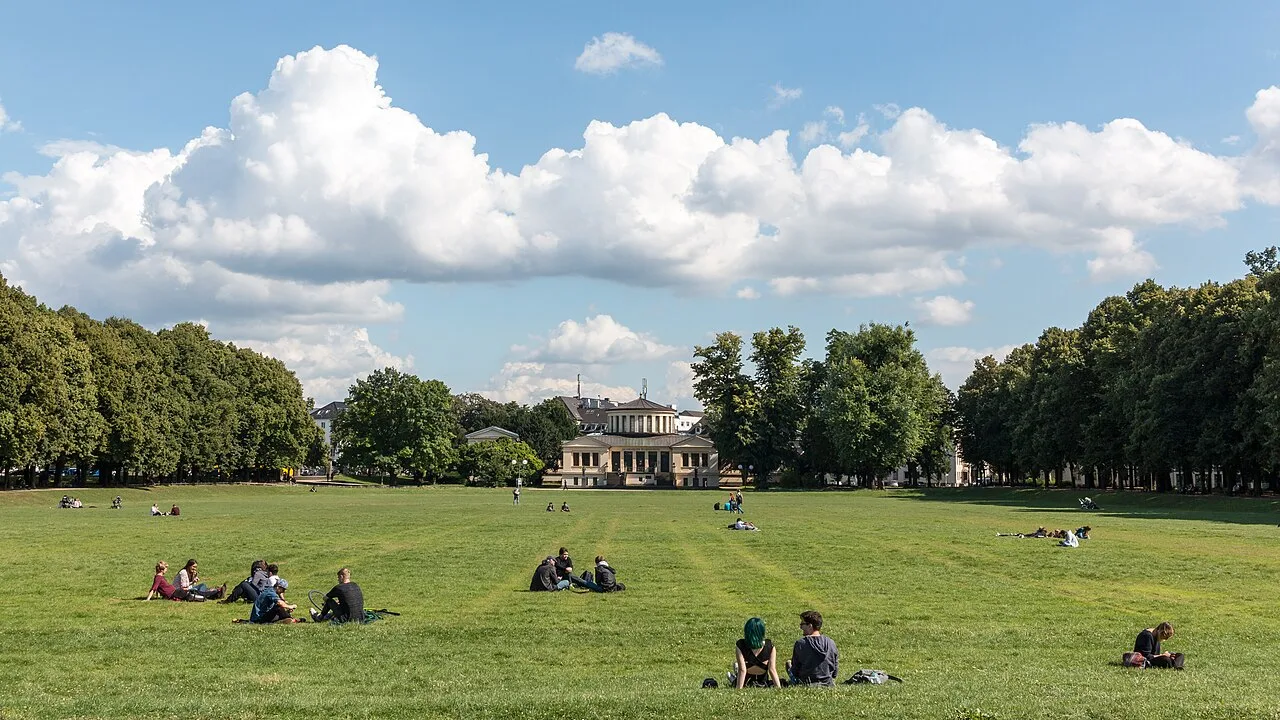
Behind the arch you are in the Hofgarten, the old palace gardens, with a U-Bahn station sitting right there as a landmark. At the station you turn left and follow the path east across the wide street, the Adenauerallee, which is why you cross that road instead of walking along it. The parks are self-contained and the crossing is a short, single interruption rather than a long detour.
If you would rather build the promenade into a broader morning in the centre, the Bonn Old Town walking tour route covers the lanes and squares around the Marktplatz and connects naturally to this start point. Doing the old town first and the river second keeps you moving in one direction instead of doubling back through the same streets.
Hofgarten and Stadtgarten: The Descent to the Water
From the Hofgarten the path leads into the Stadtgarten and runs downhill toward the river, with the water roughly a hundred metres straight ahead once you are through the crossing. The descent is gentle and short, which is why this stretch works as the transition between the city side and the river side rather than as a sight in its own right. Follow the slope rather than the road, and the path delivers you onto the riverside.
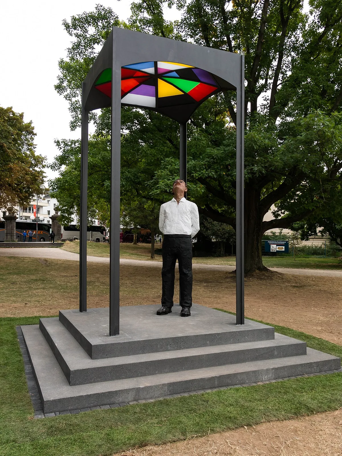
At the river you turn right and simply follow the pedestrian path as far as you want to go. This is the moment the walk switches character: the noise of the road drops away and the riverbank opens up with the two high-rise towers visible downriver. Note that the two parks are open public grounds, so there is nothing to pay or queue for here.
Several hundred metres of this first riverside stretch are enough to tell you whether you want the full southbound walk or a shorter out-and-back. If you are travelling with children or on a tight schedule, turning around within sight of the towers still gives you the river experience without committing to the park at the far end.
The Riverfront South: Villas, Ministries and the Towers
Heading south, the riverfront is lined with villas, mansions, boat clubs and government ministries, and the water carries ships, kayaks and rowing boats in both directions. The path itself is shared with runners, cyclists and people simply strolling, so keep to your side and expect company on fine days. The two high-rise buildings you can see downriver are your visual anchor for the next stage.
You pass a modern red sculpture, which marks the ex-government quarter, where the West German Bundestag met and the Chancellor's office stood. Shortly afterwards the tall UN building appears, followed by the even taller oval-shaped Post/DHL high-rise, and the Rheinau Park begins right there. The sequence matters: sculpture, UN tower, Post/DHL tower, park entrance, in that order.
There is also a green autobahn bridge further downriver that you pass beneath, which is a useful landmark if you are checking whether you have gone far enough. Beyond it the character of the river begins to change and the far bank starts to look greener and steeper. That shift is your cue that the quieter, more natural half of the walk is starting.
The Ex-Government Quarter and What Stands There Now
The old government quarter is best read as a working district rather than a memorial. The old Bundestag building is now used as a congress centre, and the parliament office building is used by the United Nations, which is why you pass offices and conference facilities rather than empty monuments. Walking through it in daylight gives you the buildings themselves, with no admission and no tour needed.
Coming back north, the white Deutsche Welle building sits along the right-hand side of the route, and at the next cross-street, Heussallee, you pass several buildings formerly used by the West German Bundestag, one of which now serves the World Congress Center. Further along the street ends at Dahlmannstraße, where the driveway into the old Kanzleramt faces you. These are all exterior views from public streets, so plan the timing around daylight rather than around opening hours.
From Dahlmannstraße you turn right and walk roughly a hundred metres back to the river, then turn left to head north toward town. That short link is the hinge of the loop, and it is worth remembering because it is the easiest place to accidentally overshoot and end up back at the towers. If you have time left in the day, the Beethovenhalle area and the evening options in the city centre are covered in things to do in Bonn at night.
Rheinau Park and the Lake
You can stay on the waterfront path and keep going under the bridge, or move onto the park side where the ground is more natural and wooded. On the wooded side the green hills rise along the far bank, and you are looking at the Siebengebirge, the Seven Mountains, across the water. The park is the natural finish line: it is where the built-up riverfront gives way to something quieter.
A white-and-red signpost points right toward Beuel, and a short distance beyond it lies the lake that stretches parallel to the river and divides the park. If you take the dirt path along the lakeside, keeping the water to your left, you walk north past barbecue spots and metallic sculptures. The lake is the clearest marker that you have gone far enough for a full version of this walk.
Two small bridges complete the northern end of the park, and the giant round-glass Post/DHL tower stands straight ahead as you come off them. That tower is a reliable orientation point for the return leg, because the route runs up a ramp to the bridge at its base and then between the two parts of the building. Note that the park is open ground; anything you might want to rent or buy inside it should be checked on the day rather than assumed.
Turnaround Options: Short, Half-Loop or Full Circuit
The short version stays on the riverfront and turns back when the villas stop being interesting, which keeps the whole outing on flat riverside path with no park navigation. The half-loop follows the river south, cuts back through the old government quarter via Dahlmannstraße and the old Kanzleramt, and returns to the Hofgarten. The full circuit adds the Rheinau Park lake and the wooded side before rejoining the same return route.
Choose based on the following day rather than on ambition, because the difference between the short version and the full circuit is several additional kilometres of similar scenery. As a suggestion only, and not an official figure, allow a half day for the full circuit with pauses, and an hour or two for the riverfront out-and-back. The flat terrain listed for the published riverside route is the reason this walk suits almost any pace.
If you only have one day in the city, the promenade works well as the spine of it, with museum or old-town stops slotted in at the ends rather than the middle. A Bonn one-day itinerary can help you decide which of those stops to keep, since the walk alone will already fill a good part of the day.
Looping Back Through the Hofgarten
On the return, when you pass the biergarten by the water, turn left and walk uphill on Erster Fährgasse. At the end of that block you cross the Adenauerallee again and turn right, then take the first dirt path on the left into the Hofgarten and head straight for the old palace. Just before you reach it, bear right past the white U-Bahn station and back out through the arched gateway.
From the arch it is two short blocks straight back to the market square where you started, which closes the loop without any new navigation. Doing the return through the park rather than along the road is what keeps the walk quiet at the end, when the riverside is busiest. Facilities along the way, including the biergarten, vary by season and are worth checking locally rather than planning around.
Optional Extension Across the Rhine to Beuel
Crossing to Beuel adds one thing the Bonn bank cannot give you: the view back at the city from across the water. People who cycle and walk that bank describe it as a viewpoint over the former federal capital, and on a clear day the view is the reason to make the crossing. Treat it as a short detour for the panorama, not as a further walking route.
The Beuel bank is not part of any museum cluster, and the promenade there should not be confused with the Museum Mile on the Bonn side. If museums are the goal, plan them separately as their own visit with their own arrangements rather than folding them into this crossing. The city's official tourism and culture portal is the appropriate place to check current visitor information for cultural sites rather than relying on this walk.
If you are staying several days, the crossing fits neatly into a longer programme alongside the old town and the museum side. A 3 days in Bonn itinerary is a sensible place to slot it, so the promenade and the Beuel view do not crowd out the rest.
What to Skip and Common Mistakes
The most common mistake is treating the promenade as a museum route. It is not: the walk passes buildings, gardens and towers but does not include any interior, and assuming otherwise leads to disappointment at the far end of the park. Plan indoor visits as separate outings with their own logistics.
The second mistake is over-planning distance. Because the path is linear and flat, you can turn around almost anywhere, so fixating on a target figure adds pressure without adding anything. Use the towers, the red sculpture, the bridge and the lake as your markers instead of a number.
The third is expecting facilities everywhere along the route. Kiosks, biergarten service and boat rentals are seasonal and weather-dependent, so carry what you need and check locally for the rest. If you would rather have a firm structure for the day, the city pillar page linked above and the landmark guides cover the surrounding sights in more depth.
Plan Your Visit
The Rhine promenade walk works because it asks very little of you: one direction, one path, and a handful of clear landmarks to tell you how far you have come. Start at the Marktplatz, head south through the Hofgarten to the water, and let the towers and the park decide where you stop. Whether you turn back at the villas or continue to the Rheinau Park lake, you finish on the same flat riverside path you started on.
Build in the Beuel crossing only if you want the view back at the city, and keep museum visits as a separate plan with their own arrangements verified directly with each site. Check the city's official tourism and culture portal for current information on cultural sites and seasonal services before you go, since those details change.
Frequently Asked Questions
Which direction should I walk the Bonn Rhine promenade?
Walk south from the Marktplatz. Heading south takes you through the Hofgarten and Stadtgarten down to the river, then past the villas and ministries to the ex-government quarter, the UN tower and the Post/DHL tower, with the Rheinau Park at the end. That order puts the landmarks in sequence and leaves you a straightforward return along the water or through the old government quarter.
How long does a Rhine promenade walk in Bonn take?
As a suggestion, allow around an hour or two for a riverfront out-and-back and about half a day for the full circuit that includes the Rheinau Park lake and the return through the old government quarter. The route is flat and mostly paved, so pace rather than terrain decides the time. There is no official duration for the walk, so treat these as planning estimates and adjust to your own stops.
Can I extend the promenade walk across the Rhine to Beuel?
Yes, and the reason to do it is the view back at Bonn from the opposite bank, which is what the Beuel promenade is known for. It is a short viewpoint detour rather than a continuation of the walk, and the Beuel bank is not part of the Museum Mile on the Bonn side. Plan any museum visits separately, with the details checked directly with each site.
Where does the Rhine promenade walk start?
Start at the Marktplatz in Bonn's old town, at the town hall end of the square, and walk past the building toward the arched gateway in the east wing of the old Hof. The arch leads into the Hofgarten, where a U-Bahn station serves as your landmark before you cross the Adenauerallee and descend to the river.
Is the Rhine promenade walk flat and easy?
The riverside route is described as flat terrain, and the general shape of the walk has no significant climbs apart from the gentle descent from the Stadtgarten to the water and the short rise on Erster Fährgasse on the return. The surface is mostly paved and shared with runners and cyclists, so keep to one side. Check your own needs against current local information, since condition and surface details are not guaranteed.


