
Every hiking day in Garmisch-Partenkirchen comes down to one decision: how much vertical you want under your boots. A flat lake loop and a high alpine route can start from the same valley floor, but they demand completely different footwear, timing and nerve. Reading a route for its effort profile, not just its name, is what keeps a holiday day enjoyable.
A suggested duration of two to three hours for a valley or lake walk is an editorial planning estimate, not an official figure. The destination's own visitor site publishes live webcams and an overview of open cable cars and lifts, which is the fastest way to sanity-check a plan before you set out.
Match the Route to Your Group Before You Match It to a Map
Start with the people, not the summit. A family with young children, a group where one person dislikes exposure, and a pair of fit trail runners will all have a better week on different routes. Deciding the tier first prevents the classic mistake of towing a reluctant walker onto a route that stops being fun an hour in.
As a rough planning frame, four tiers cover almost everything here. Valley and lake walks are flat or gently rolling and suit arrival days; gorge approaches are short in distance but involve steps, damp rock and cold air; mid-level routes add sustained climbing through forest to a ridge or hut; alpine days are long, exposed and weather-dependent. These are editorial groupings, not official difficulty grades.
If you want wider destination context first, from arrival logistics to how the two halves of town fit together, our Garmisch-Partenkirchen city guide is the natural starting point. It pairs well with the Garmisch-Partenkirchen landmark visitor guides, so you can slot a hike into a broader itinerary rather than building the trip around one walk.
Easy Valley and Lake Walks for Arrival Days
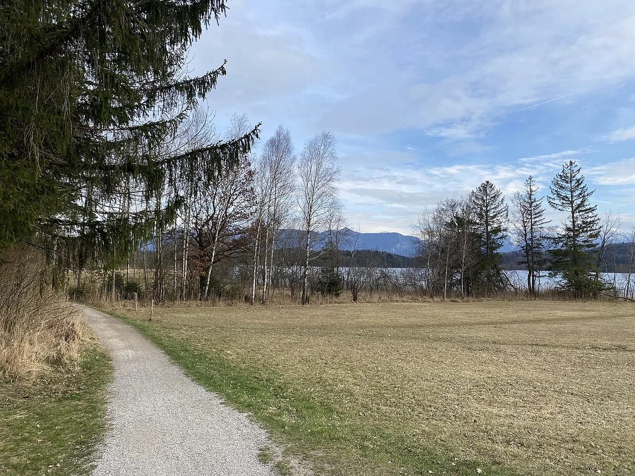
The Eibsee is the obvious first-day choice: a shoreline circuit around turquoise water with the Zugspitze massif behind it, no serious climbing and plenty of places to stop. Its flat, gentle profile makes it forgiving for jet-lagged legs or anyone still breaking in boots, and the loop can be shortened easily if energy flags. Go early in summer, because the car park and lakeside paths fill quickly on warm weekends.
Badersee and Rießersee are the quieter alternatives. Badersee is small and shaded, while Rießersee sits close to town and pairs easily with a lakeside refreshment stop. Both work as an hour or two of gentle movement rather than a full outing, which is exactly what a travel day needs.
If swimming is the goal, plan around the fact that alpine lake water stays cold even in high summer, so a quick dip is more realistic than a long swim. Bring a towel, water shoes for rocky or gravelly shores and a dry bag for phones. Pushed for time in town? The One Day in Garmisch-Partenkirchen Itinerary shows how to fold a short lake walk into a single day without rushing.
Gorge Approaches: Short Distance, Real Demands
The Partnachklamm and the Höllentalklamm are the two names most walkers ask about, and they behave very differently as days out. Both are gorge paths cut into rock, so the distance looks modest while the effort comes from stairs, wet surfaces, cold dripping air and narrow passages where you cannot pass freely. That combination catches people who judge a route only by its length. For route detail and practical visitor information, see the Höllentalklamm Guide. For route detail and practical visitor information, see the Partnachklamm Visitor Guide.
The Partnachklamm is the shorter and more accessible of the two, which is why it suits mixed groups and first-time visitors. Expect to move slowly, to get dripped on and to want a layer even on a hot day. The Höllentalklamm is the more committed outing, with tunnel sections and a longer approach, and it is generally treated as a summer-to-early-autumn proposition rather than a year-round path.
Entrance arrangements and opening periods for both gorges change with season and weather, so check the operator's current information rather than relying on older trip reports. The same applies to any cable car you plan to use as a shortcut: the destination site lists which lifts are running on the day. Build the gorge into the day rather than the other way around, and you avoid arriving after the last sensible entry.
Mid-Level Routes: Eckbauer, Wank and the Cable-Car Trade-Off
The middle tier is where the valley starts to feel like a mountain day. Climbing from the Partnachklamm up towards the Eckbauer area takes you out of the gorge and into forest, gaining height steadily until the trees open onto views and a hut stop. It is the classic step up for walkers who found the gorge itself easy but are not ready for a summit push.
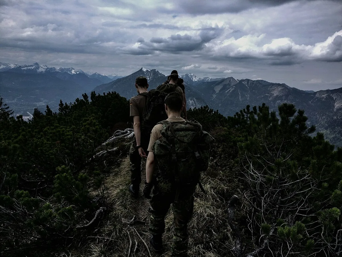
In the Wank area, the decision is whether to walk the whole ascent or use a lift to remove the climb and keep the ridge time. Using a cable car to cut the climb rather than the whole route is often the better compromise: you still get the walking and the views, without committing to hours of uphill. Lift operations are seasonal and weather-dependent, so verify status on the day; the Wank Mountain Visitor Guide covers what to expect at the top.
Budget more time than the distance suggests on any route with sustained elevation gain, and plan the descent while you still have energy and daylight. A hut stop is a reward, not a milestone, so it should not decide whether you finish comfortably. If you are staying several days, the 3 Days in Garmisch-Partenkirchen Itinerary offers a rhythm that alternates harder and easier days.
Alpine and Summit Days: Prerequisites Before Ambition
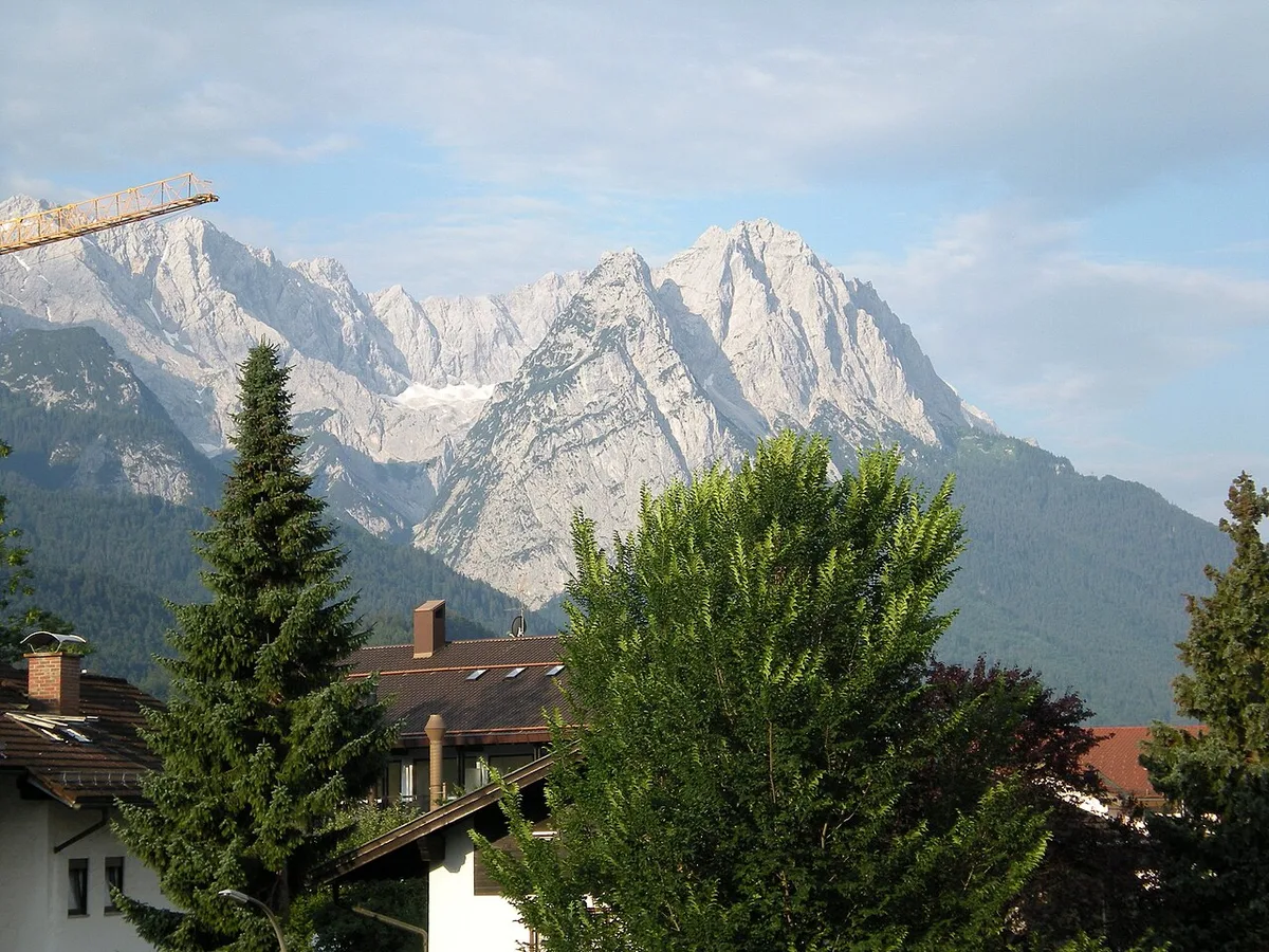
A long hut route and a Zugspitze-scale undertaking are separated by more than distance. Alpine days bring exposure, rapidly changing weather, longer stretches without shelter and a real chance of needing to turn around. That is why altitude, fitness, experience and equipment should be settled honestly before the route is chosen; the Zugspitze Visitor Guide explains what a summit day actually involves.
The German Alpine Club's guidance is a useful reference point for exactly this kind of judgement. Its hillwalking and tour-planning resources cover how to assess conditions, what to carry and how to decide to turn back, and it publishes hut closing dates as autumn approaches. Reading that material before you travel is more valuable than any last-minute gear purchase.
If anyone in the party is unsure, treat the alpine day as optional and keep a mid-level alternative ready. Summit ambitions are easy to plan and hard to abandon halfway up, so agree in advance what weather or timing trigger turns the group around. That single conversation prevents most bad afternoons in the mountains.
Split-Group Strategy for Mixed Abilities
Groups rarely share one fitness level, and pretending otherwise ruins the day for someone. The practical solution is a split day: stronger walkers take the longer route, everyone else does a lake loop, a gorge or a town morning, and you reconvene for dinner. Garmisch-Partenkirchen works well for this because the easier options sit close to the valley floor.
Make the meeting point and time explicit before separating, and agree that nobody waits indefinitely if a route runs long. Share a live location or a simple text check-in, and confirm that each subgroup carries its own water, layers and map. Two half-days that everyone enjoys beat one compromised route nobody remembers fondly.
Season, Snow and Hut Closures
Autumn changes the calculus quickly here. The German Alpine Club notes that early snow on higher ground and shorter daylight turn late-season plans into shorter, lower and earlier ones, and its autumn guidance is built around packing warmer layers and being ready to abandon a plan. Valley and lake walks keep working longest, while high routes become a judgement call rather than a fixture.
Hut closing dates are the other late-season variable, and the German Alpine Club publishes an overview of when its huts shut for the season. A route that depends on a hut for food, shelter or an overnight should be planned around those dates rather than assumed to be available. For unsupported routes, carry enough food and water regardless.
Gorge paths and high trails can also be affected by rockfall, ice or maintenance, and the alpine club's magazine has documented how a hot, dry summer can raise rockfall risk on high routes. Rather than assuming a path is open because it was open last season, confirm the current situation locally before travelling to the trailhead.
Gear, Maps and Mountain Safety Basics
Ankle-supporting boots, layers you can add and remove, a rain shell and a small daypack cover the majority of days here. Gorge walks additionally reward something water-resistant, because dripping rock makes trousers and packs wet regardless of the forecast. Poles help on long descents more than on the climbs that people worry about beforehand.
Download offline maps before you leave accommodation, since signal can disappear in valleys and on remote paths. Carry a power bank, tell someone your intended route and expected return, and keep a paper map or printed notes as backup. Cash remains useful in mountain settings even where cards are common in town.
The alpine club's safety material is clear that the strongest walker is the one who assesses conditions honestly and turns around when needed, not the one who pushes on. Set a turnaround time before you start and honour it. If a route depends on a lift, hut or gorge being open, have a valley alternative already chosen rather than improvising at the trailhead.
Getting Around Without a Car
Basing yourself in the valley and using buses, trains and lifts is entirely workable, and it removes parking stress at popular trailheads. The trade-off is dependence on timetables and operational status, so plan around a small number of nearby objectives rather than scattering trailheads across the region. Check connections the evening before, not the morning of.
Lifts and cable cars are the most volatile element of any car-free plan, since they can stop for wind, maintenance or season. The destination's own site publishes an open cable cars and lifts overview alongside live webcams, which is the quickest way to see whether your shortcut still exists today. If it does not, pick the lower route instead of rearranging the whole day.
If you would rather combine walking with a broader look at logistics, the Garmisch-Partenkirchen walking weekend covers transport, accommodation types and how to structure a few days with friends, including the split-group idea. Treat its figures as indicative planning input and verify anything time-sensitive locally, since lift status, snow conditions and opening periods change.
Pick by Effort, Then Check the Day
Choose your Garmisch-Partenkirchen hiking tier first, then choose the specific route inside it. Lake loops and gorge paths carry a low arrival-day risk, mid-level climbs reward a steady pace, and alpine days belong to parties with the fitness, gear and judgement to turn around. Deciding this order stops the trip from being shaped by whichever trail name you read last.
Before each outing, check the destination's live webcams, lift status and any hut closing information, and treat weather as the final vote. Keep one valley day in reserve as a buffer, especially in autumn when early snow and shorter daylight can rewrite a plan. Gear, a downloaded offline map and a stated turnaround time are cheap insurance for an expensive rescue.
Frequently Asked Questions
Which Garmisch-Partenkirchen walks are easiest for a first day?
Flat valley and lake walks are the lowest-risk start: the Eibsee shoreline circuit, Badersee and Rießersee all avoid sustained climbing and keep you close to transport. They also work when you are tired from travelling, because you can shorten them at any point. Save gorge paths and higher routes for a day when you have slept properly and can start early.
How do the Partnachklamm and Höllentalklamm gorge walks differ in effort?
The Partnachklamm is the shorter, more accessible option and suits mixed groups, while the Höllentalklamm involves a longer approach, tunnel sections and more commitment, and is generally treated as a summer-to-early-autumn route. Both feel harder than their distance suggests because of steps, wet rock and cold air. Entrance arrangements and opening periods change, so confirm current details with the operator before you go.
Can you hike in Garmisch-Partenkirchen without a car?
Yes. Basing yourself in the valley and using buses, trains and lifts is practical, and it avoids parking pressure at busy trailheads. The trade-off is dependence on timetables and lift operations, so plan a small number of nearby objectives and check status the evening before. Walking between town and the lower trailheads is also realistic for many valley routes.
What changes for hiking in Garmisch in autumn or after early snow?
Early snow on higher ground and shorter daylight push plans lower, shorter and earlier in the day. The German Alpine Club's autumn guidance emphasises warmer layers and being willing to abandon a route, and its hut overview lists seasonal closing dates. Before travelling to a trailhead, confirm that a gorge, path or lift is actually open, since rockfall, ice and maintenance can all affect access.


