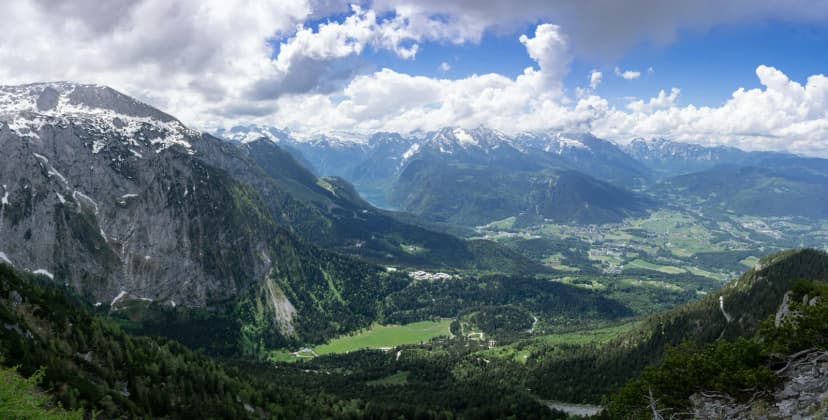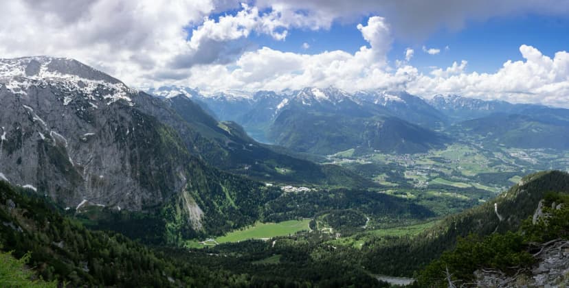
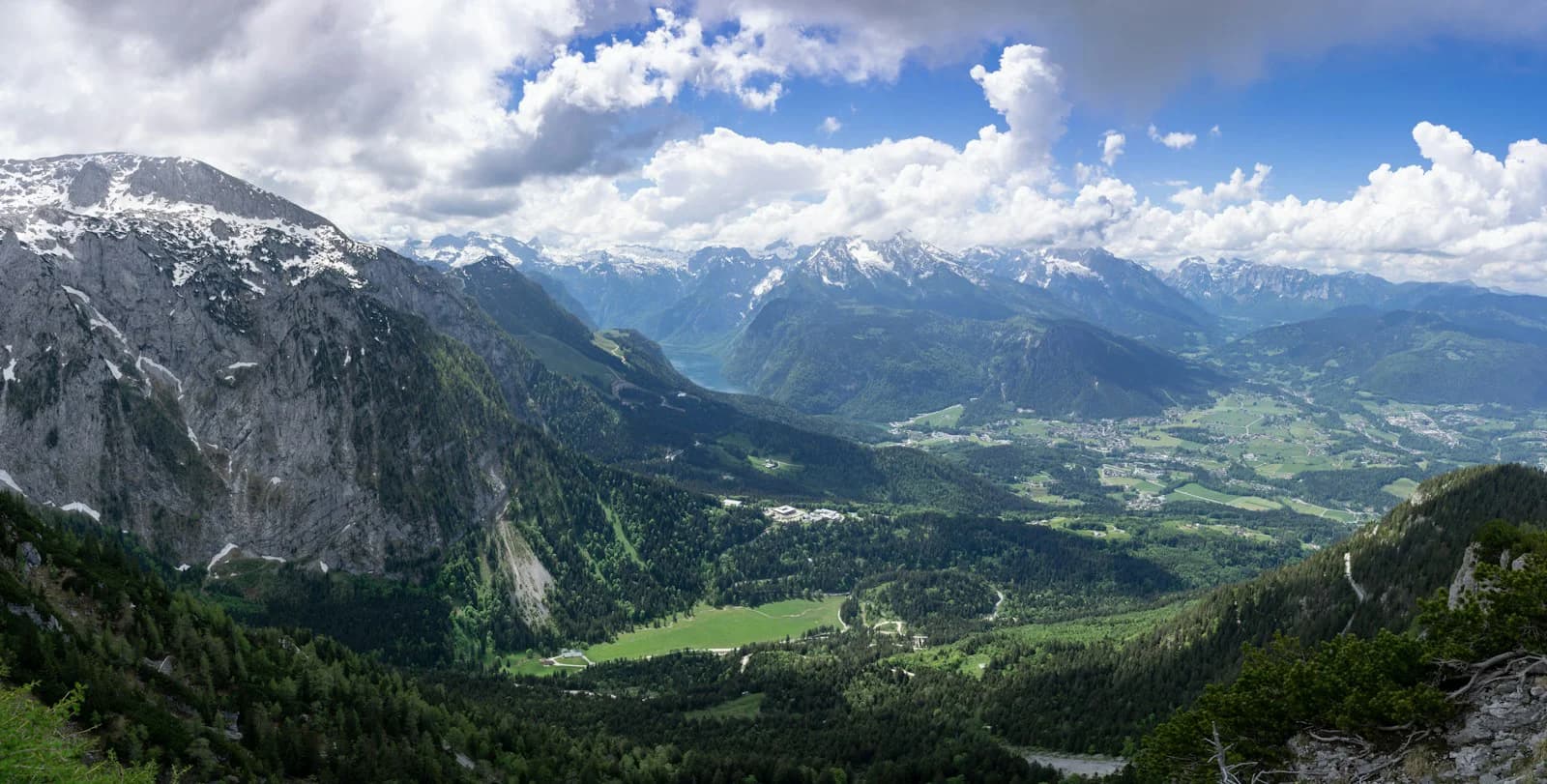
The Watzmann is the mountain most people picture when they picture Berchtesgaden: a dark, pyramid-shaped massif above the Königssee and the national park. It also draws two very different visitors, and the planning for each looks nothing alike.
One group wants to stand somewhere and look at it, which is easy and often spectacular. The other wants to stand on top of it, which is a serious alpine undertaking involving exposure, scree, long hours and, for most people, a guide.
This guide covers the massif's layout and legends, the viewpoints that require no climbing, the hut-based hike to Watzmannhaus, the multi-summit traverse, the east face, and the safety questions that should decide whether you book anything at all.
What the Watzmann Is and Where It Stands
The Watzmann sits in the Berchtesgaden Alps in southeastern Germany, close to the Austrian border, and is commonly described as the third-highest mountain in Germany. Its main summit reaches 2,713 metres, according to a guide operator's published trip description, and it is often called the highest peak lying entirely within German borders.
The massif is not one summit but several, forming a north-to-south line of peaks above the valleys around Schönau am Königssee and Ramsau. Because the whole massif is so broad, the Watzmann looks different from every direction, which is why the region uses it as a landmark on signage, postcards and webcams.
There is no road, lift or cable car to the Watzmann summit; any ascent is on foot. Neighbouring peaks such as the Jenner do have a cable car and are often confused with the Watzmann in trip planning, so check that a viewpoint you are considering is actually a Watzmann viewpoint.
Main Peaks and the Watzmannfrau Legend
Three summits dominate the standard descriptions: Hocheck, the northernmost at 2,651 metres; Mittelspitze, the main summit at 2,713 metres; and Südspitze at 2,712 metres. Those elevations are the figures published by a guiding operator for its crossing trip, not an official survey, and small differences appear between sources.
West of the main ridge, a group of smaller rocky forms is known as the Watzmannfrau, the Watzmann's wife, with the Watzmannkinder, the children, said to cluster around her. Local legend explains the shapes, and the story is part of why the massif reads as a family of figures rather than simply a wall of rock.
You will not climb the Watzmannfrau on a normal visit; it is a viewing curiosity best identified from viewpoints across the valleys. Binoculars help, and the regional tourism site for the area publishes background on the legends if you want the full story.
Viewing the Watzmann Without Climbing
The single most famous view of the Watzmann is from the Königssee, where the east face drops almost directly into the water. The lake itself is only reachable by boat, and the destination's own page states that a one-way crossing from the Seelände landing to St. Bartholomä takes roughly 35 minutes, with at least two hours suggested for a return visit.
The same page notes that boats can queue badly on the first fine day after rain and during peak periods, and that buying online in advance lets you go straight to the jetty. It also states that the boats are not wheelchair-accessible and that boarding involves narrow, steep steps.
On land, the Rossfeld Panorama Road offers a high-plateau drive with broad views of the Berchtesgaden Alps and into Austria. The road's own information page states that it is a toll road with parking at the viewpoints, and that overnight stays in vehicles and camping along the route are not permitted.
If you would rather hike to a viewpoint than drive, the trails above Ramsau and around the Hintersee give you a Watzmann-adjacent panorama alongside the Hochkalter massif. The Hintersee page describes an almost flat lakeside path that is walkable year-round, which makes it a good low-effort option when the weather turns.
The Watzmannhaus Hike: A Hut-Based Day
The most common Watzmann-related hike that does not require mountaineering is the ascent to Watzmannhaus, the hut on the mountain's shoulder. A guided operator publishes the standard approach as roughly 1,300 metres of elevation gain and about 3.5 hours of walking from the Wimbachbrücke parking area near Ramsau, where its tour meets.
That is a genuinely tiring day but not a technical one, and it can be done without a guide if you are fit and used to mountain walking. What it does require is a plan for the descent: knees, weather and daylight all matter more on the way down than on the way up.
Hut prices, opening periods and bed availability are published by the hut operator and the alpine club rather than by tourism boards. The German Alpine Club's site lists hut closing dates and seasonal information, and its members' booking benefits include discounted hut nights.
The Ridge Traverse: Three Summits and a Long Descent
The classic Watzmann crossing links Hocheck, Mittelspitze and Südspitze in one long day, usually with a night at Watzmannhaus first. One operator describes it as a two-day tour rated quite difficult, with the summit day involving roughly 1,100 metres of ascent, 2,000 metres of descent and around 10 to 12 hours of walking.
The group size on that published itinerary is two to four people, and the stated prerequisites are absolute sure-footedness and a good head for heights, with basic alpine experience sufficient. The long descent through the Wimbachgries is in technically difficult terrain, which is where many people underestimate the day.
Guiding and hut reservation are included in the published scope of that operator's offer, but accommodation and meals are not, and it lists half-board as an extra cost paid separately. If you compare guided offers, read the included and excluded lists carefully rather than comparing headline numbers.
The East Face and Why Experience Is Non-Negotiable
The Watzmann's east face, dropping above the Königssee, is described by a guided operator as about 1,800 metres high and the longest wall in the Eastern Alps. Its east-wall ascent is offered as a two-day programme that starts with a boat to St. Bartholomä and uses the Berchtesgadener Weg, with a night at the wall camp.
That operator states plainly that prior mountaineering experience is necessary for the east face, and that the day will involve 11 to 13 hours of ascent and descent. This is not a hike with a scary bit; it is a mountaineering route, and the guide's judgement about weather and conditions is part of the product.
If you are not already comfortable on exposed alpine terrain with a rope and harness, the honest answer is that the east face is not the place to find out. Book a level-appropriate guided route or a training course, and treat the east wall as a future goal.
Difficulty and Safety: What Decides the Day
The unifying risk on every Watzmann route above the hut is the combination of exposure, loose rock and long descent, multiplied by weather that changes faster than the forecast. The alpine club's magazine runs a recurring decision-making series whose core message is that turning around is a skill, not a failure.
Autumn in particular compresses the day: the same magazine's seasonal guidance warns that early snow returns to high ground and that daylight shrinks quickly. On a route quoted at 10 to 12 hours, a late start in September or October is a far bigger risk than it looks in July.
There is no unified ticket or single booking that covers Watzmann routes; each guide, hut and transport element is arranged separately. Confirm conditions with the hut, your guide or the local alpine information service before committing, and check the alpine club site for current safety notices.
Family and Low-Effort Alternatives
If summits are not the plan, Berchtesgaden still delivers the Watzmann as scenery. The tourism site describes the Zauberwald loop near the Hintersee as freely accessible year-round, with the winter path cleared, combining forest, river and mountain backdrop without any commitment to altitude.
The Jenner cable car is the classic compromise for a family that wants a big view without a long climb. The region's own page markets its summit panorama of the Königssee and the Watzmann specifically. Check current operating periods and prices with the operator before you build a day around it.
For an indoor half-day, the Dokumentation Obersalzberg examines the history of the Obersalzberg and the Nazi period. Its visitor page publishes opening hours, closing days and entry fees, including free entry for children under 18, and states that the bunker complex is accessible during opening hours as part of the permanent exhibition.
Practical Base Decisions and Getting Around
Berchtesgaden town, Schönau am Königssee and Ramsau bei Berchtesgaden are the three practical bases, and the right one depends on your plan. A hut approach is shorter from Ramsau, the lake boats are closest to Schönau, and the town has the widest choice of services and bus connections.
Königssee and Salet are served by boat rather than road, and the lake page notes that poor mobile coverage at those landings is why some tickets must be bought at the landing rather than online. Plan your return crossing with that in mind, especially if you are hiking out from Salet.
Parking near the lake fills early on fine days, and the Rossfeld road is tolled with no overnight parking allowed. Buses, e-car sharing and bikes are all part of the local mobility mix, so a day without a car is realistic if you build the schedule around published timetables.
Plan Your Visit
Decide first which job you are doing: looking at the Watzmann, walking to a hut, or committing to a long ridge or wall route. The viewing version is easy, cheap and weather-flexible; the climbing versions are multi-day projects with real prerequisites.
Whatever you choose, verify the volatile details close to your dates: boat times, toll charges, hut availability, guide inclusions and current conditions. Operator pages, the alpine club and the local tourist information are the sources to trust, and they change more often than any guide article can.
Frequently Asked Questions
Can you climb the Watzmann without a guide?
For the hut hike to Watzmannhaus and for the ridge traverse, going without a guide is possible if you have solid alpine experience and sure-footedness. For the east face, the guided operator states that prior mountaineering experience is required, so going unguided there is a serious undertaking rather than a walk-up. If you are unsure, hire a certified guide or choose a less demanding objective.
How long does the Watzmann ridge traverse take?
One operator publishes the summit day at roughly 10 to 12 hours of walking time, and another quotes 11 to 13 hours for its east-wall programme. Both figures assume a night on the mountain beforehand and good conditions. Treat these as operator estimates, not official times, and add margin for your own pace.
Do you need climbing experience for the Watzmann east face?
Yes. The guided east-face programme explicitly requires prior mountaineering experience, and the route involves long hours on exposed terrain. It is a route for people who already move confidently on alpine ground with a rope and harness, not a first introduction to the mountains.
Where can you see the Watzmann without hiking to the summit?
The Königssee boat crossing gives the classic view of the east face, and the Rossfeld Panorama Road offers a high drive with wide Alpine views. Land-based options around Ramsau and the Hintersee also show the massif. Check boat and road information before you travel, since these are operated services.
Is there a cable car up the Watzmann?
No. No lift or cable car serves the Watzmann itself, so any summit route is on foot. The Jenner cable car, which is nearby and offers panoramic views including the Watzmann, is often confused with the massif in trip planning. Check which peak a cable car actually serves before booking.
How hard is the hike to the Watzmannhaus?
The published approach is roughly 1,300 metres of elevation gain and about 3.5 hours of walking from the Wimbachbrücke area. It is a long but non-technical mountain day that suits fit walkers. The descent takes as much out of you as the climb, so plan for tired legs.
What fitness level does the Watzmann crossing require?
The operator describes it as requiring very high fitness, with about 1,100 metres of ascent and 2,000 metres of descent on the summit day. Absolute sure-footedness and a good head for heights are also mandatory. If your usual hike is a few hours on gentle paths, build up first.
When is the best time of year to attempt the Watzmann?
Guided operators list summer and early autumn availability, but that reflects their scheduling rather than a rule about the mountain. Autumn brings earlier snow and shorter days, and the alpine club publishes seasonal safety guidance that applies to high routes generally. Check conditions and your guide's schedule for your specific dates.
Sources
- Magazin des Deutschen Alpenvereins (DAV)
- Watzmann, East Wall, 2 Day Guided Ascent. 2-day trip. Certified guide
- Watzmann crossing (2 days) - Salzburg Adventures
- Der Hintersee bei Ramsau | Berchtesgaden
- Der Zauberwald am Hintersee |Bergsteigerdorf Ramsau | Berchtesgaden
- Der Königssee | Berchtesgaden
- Rossfeld Panoramastraße: Usage & Info